Level crossing at Willaston near Crewe
Introduction
The photograph on this page of Level crossing at Willaston near Crewe by Margaret Sutton as part of the Geograph project.
The Geograph project started in 2005 with the aim of publishing, organising and preserving representative images for every square kilometre of Great Britain, Ireland and the Isle of Man.

There are currently over 7.5m images from over 14,400 individuals and you can help contribute to the project by visiting https://www.geograph.org.uk
Level crossing at Willaston near Crewe
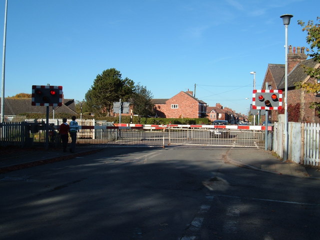
Image: © Margaret Sutton Taken: 25 Oct 2010
On Wistaston Road. The line runs from Crewe to Shrewsbury via Nantwich.
Images are licensed for reuse under creativecommons.org/licenses/by-sa/2.0
Image Location
Latitude
53.066433
Longitude
-2.479297