Ryburn Reservoir woods
Introduction
The photograph on this page of Ryburn Reservoir woods by Paul Harrop as part of the Geograph project.
The Geograph project started in 2005 with the aim of publishing, organising and preserving representative images for every square kilometre of Great Britain, Ireland and the Isle of Man.

There are currently over 7.5m images from over 14,400 individuals and you can help contribute to the project by visiting https://www.geograph.org.uk
Ryburn Reservoir woods
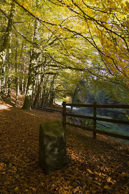
Image: © Paul Harrop Taken: 25 Oct 2010
Trees lining the banks, close the footbridge over Hutch Brook as it flows into the southern arm of the reservoir.
Images are licensed for reuse under creativecommons.org/licenses/by-sa/2.0
Image Location
Latitude
53.661885
Longitude
-1.970166