Houses on Blackwall Basin
Introduction
The photograph on this page of Houses on Blackwall Basin by Rod Allday as part of the Geograph project.
The Geograph project started in 2005 with the aim of publishing, organising and preserving representative images for every square kilometre of Great Britain, Ireland and the Isle of Man.

There are currently over 7.5m images from over 14,400 individuals and you can help contribute to the project by visiting https://www.geograph.org.uk
Houses on Blackwall Basin
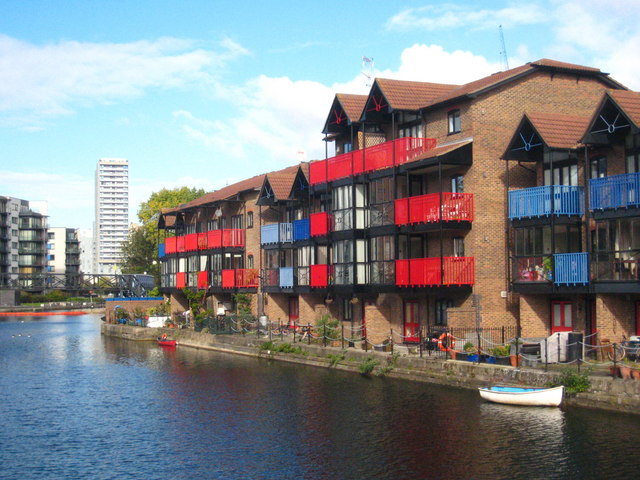
Image: © Rod Allday Taken: 16 Oct 2010
Low rise waterside housing on the eastern edge of the Canary Wharf development.
Images are licensed for reuse under creativecommons.org/licenses/by-sa/2.0
Image Location
Latitude
51.503103
Longitude
-0.00894