All Saints', Raughton Head
Introduction
The photograph on this page of All Saints', Raughton Head by Andrew Smith as part of the Geograph project.
The Geograph project started in 2005 with the aim of publishing, organising and preserving representative images for every square kilometre of Great Britain, Ireland and the Isle of Man.

There are currently over 7.5m images from over 14,400 individuals and you can help contribute to the project by visiting https://www.geograph.org.uk
All Saints', Raughton Head
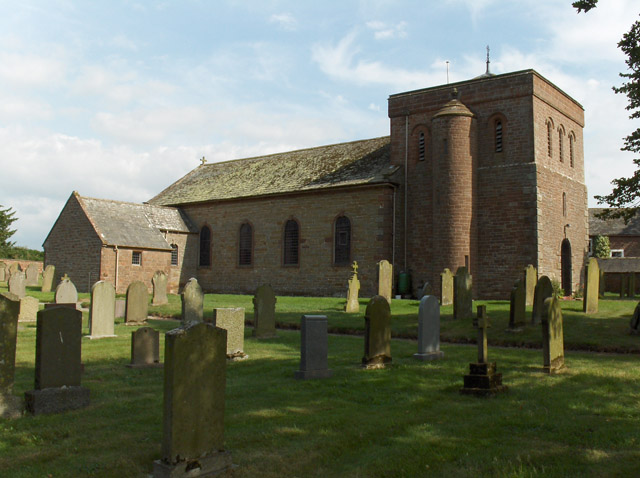
Image: © Andrew Smith Taken: 26 Jul 2006
The squat tower is dwarfed by the nearby grain silo at Haythwaite Lane Farm.
Images are licensed for reuse under creativecommons.org/licenses/by-sa/2.0
Image Location


Leaflet Map data © OpenStreetMap
Latitude
54.800514
Longitude
-2.967514