Gibson Road, Sutton, looking west
Introduction
The photograph on this page of Gibson Road, Sutton, looking west by Stephen Craven as part of the Geograph project.
The Geograph project started in 2005 with the aim of publishing, organising and preserving representative images for every square kilometre of Great Britain, Ireland and the Isle of Man.

There are currently over 7.5m images from over 14,400 individuals and you can help contribute to the project by visiting https://www.geograph.org.uk
Gibson Road, Sutton, looking west
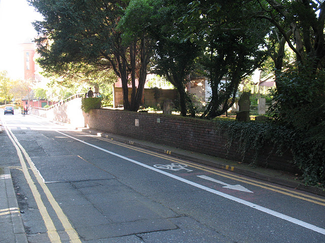
Image: © Stephen Craven Taken: 25 Oct 2010
The road is one-way westbound, with a contraflow cycle lane. At the time of submission, Sutton council had plans to remove the brick wall in the foreground and rebuild it further back from the road to make a new, wider cycle/pedestrian lane.
Images are licensed for reuse under creativecommons.org/licenses/by-sa/2.0
Image Location
Latitude
51.362243
Longitude
-0.195618