The Royal Oak, Pontnewynydd
Introduction
The photograph on this page of The Royal Oak, Pontnewynydd by Jaggery as part of the Geograph project.
The Geograph project started in 2005 with the aim of publishing, organising and preserving representative images for every square kilometre of Great Britain, Ireland and the Isle of Man.

There are currently over 7.5m images from over 14,400 individuals and you can help contribute to the project by visiting https://www.geograph.org.uk
The Royal Oak, Pontnewynydd
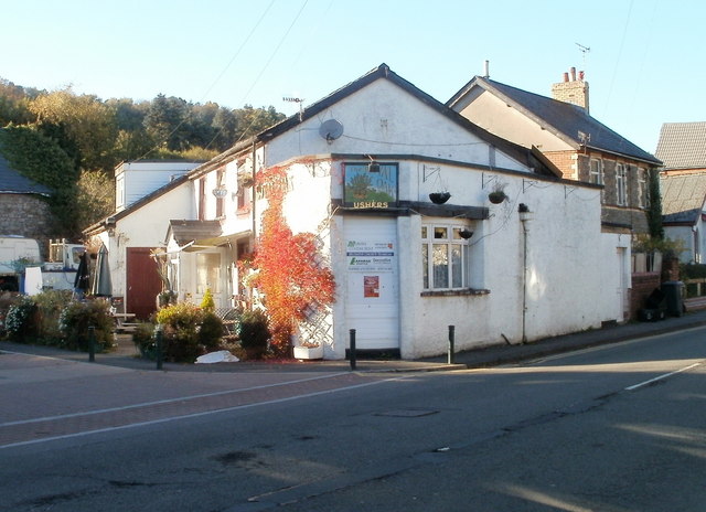
Image: © Jaggery Taken: 25 Oct 2010
Pub alongside the B4246. Some maps show this location as the southern end of Freeholdland Road whereas the pub's website states (the northern end of) George Street.
Images are licensed for reuse under creativecommons.org/licenses/by-sa/2.0
Image Location
Latitude
51.712888
Longitude
-3.055098