Ford Lane Business Park
Introduction
The photograph on this page of Ford Lane Business Park by Simon Carey as part of the Geograph project.
The Geograph project started in 2005 with the aim of publishing, organising and preserving representative images for every square kilometre of Great Britain, Ireland and the Isle of Man.

There are currently over 7.5m images from over 14,400 individuals and you can help contribute to the project by visiting https://www.geograph.org.uk
Ford Lane Business Park
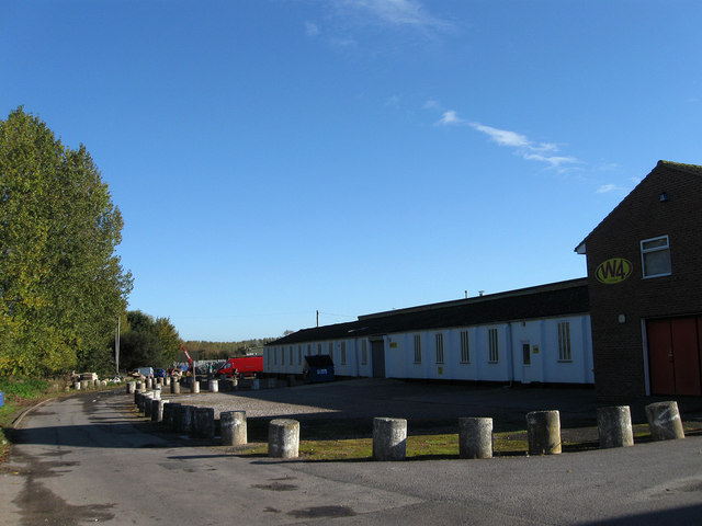
Image: © Simon Carey Taken: 24 Oct 2010
Viewed from Ford Lane. Part of the drive is the start of the footpath to Binsted. The business park evolved from the site of the old photographic school belonging to Ford Airfield which closed in 1958. Many of the temporary buildings still remain in use today in the park along with concrete anti-tank cylinders in view.
Images are licensed for reuse under creativecommons.org/licenses/by-sa/2.0
Image Location
Latitude
50.82548
Longitude
-0.589533