River Great Ouse in Buckingham
Introduction
The photograph on this page of River Great Ouse in Buckingham by Nigel Cox as part of the Geograph project.
The Geograph project started in 2005 with the aim of publishing, organising and preserving representative images for every square kilometre of Great Britain, Ireland and the Isle of Man.

There are currently over 7.5m images from over 14,400 individuals and you can help contribute to the project by visiting https://www.geograph.org.uk
River Great Ouse in Buckingham
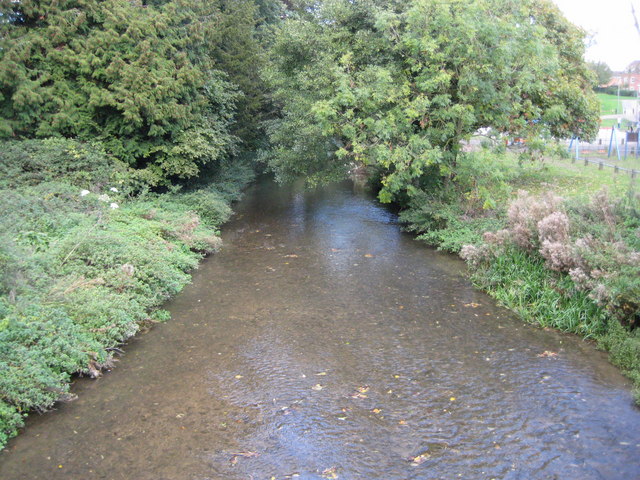
Image: © Nigel Cox Taken: 17 Oct 2010
This is the view looking downstream from the footbridge next to London Bridge. One of the unusual features of large scale Victorian Ordnance Survey maps was the occasional recording of the precise surface level, above sea level, of the water in a river at a prominent crossing point with the exact date that it was measured shown on the map too. Here the Ordnance Survey surveyed a height of 253.61 feet on 15 July 1879. This is 77.30 metres, and it would be interesting, as a comparison, to see what level the Environment Agency currently have for the location.
Images are licensed for reuse under creativecommons.org/licenses/by-sa/2.0
Image Location
Latitude
51.998724
Longitude
-0.985733