Burberry's Field
Introduction
The photograph on this page of Burberry's Field by Simon Carey as part of the Geograph project.
The Geograph project started in 2005 with the aim of publishing, organising and preserving representative images for every square kilometre of Great Britain, Ireland and the Isle of Man.

There are currently over 7.5m images from over 14,400 individuals and you can help contribute to the project by visiting https://www.geograph.org.uk
Burberry's Field
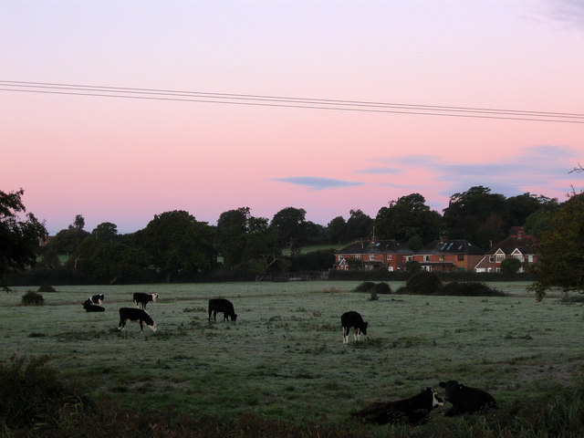
Image: © Simon Carey Taken: 24 Oct 2010
The name of the field according to the 1840 tithe map. Once part of Tortington parish but transferred to Arundel in 1905 but saved from development due to it being part of the Arun flood plain. Taken a minute after sunrise with the frost evident on the ground.
Images are licensed for reuse under creativecommons.org/licenses/by-sa/2.0
Image Location
Latitude
50.848016
Longitude
-0.56442