Luddington lock and weir, River Avon
Introduction
The photograph on this page of Luddington lock and weir, River Avon by David P Howard as part of the Geograph project.
The Geograph project started in 2005 with the aim of publishing, organising and preserving representative images for every square kilometre of Great Britain, Ireland and the Isle of Man.

There are currently over 7.5m images from over 14,400 individuals and you can help contribute to the project by visiting https://www.geograph.org.uk
Luddington lock and weir, River Avon
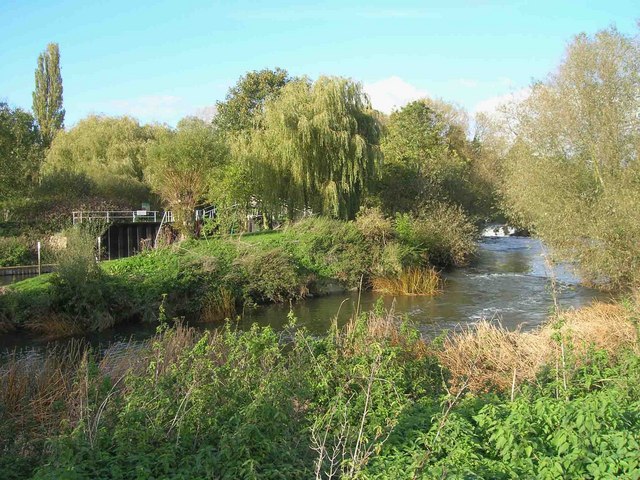
Image: © David P Howard Taken: 24 Oct 2010
Looking north from the Avon Valley footpath on the southern bank of the river. The weir is just visible on the right and the lock on the left.
Images are licensed for reuse under creativecommons.org/licenses/by-sa/2.0
Image Location
Latitude
52.168805
Longitude
-1.757389