Block of flats at World's End
Introduction
The photograph on this page of Block of flats at World's End by Rod Allday as part of the Geograph project.
The Geograph project started in 2005 with the aim of publishing, organising and preserving representative images for every square kilometre of Great Britain, Ireland and the Isle of Man.

There are currently over 7.5m images from over 14,400 individuals and you can help contribute to the project by visiting https://www.geograph.org.uk
Block of flats at World's End
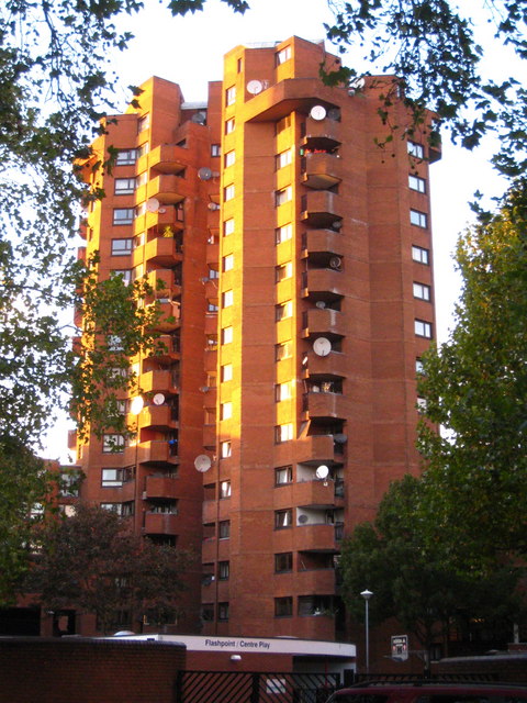
Image: © Rod Allday Taken: 16 Oct 2010
Part of the 1970s World's End social housing development, the brick clad towers look particularly pleasing in the low autumn afternoon sunlight.
Images are licensed for reuse under creativecommons.org/licenses/by-sa/2.0
Image Location
Latitude
51.480693
Longitude
-0.179282