Bonis Hall Lane
Introduction
The photograph on this page of Bonis Hall Lane by Ian Capper as part of the Geograph project.
The Geograph project started in 2005 with the aim of publishing, organising and preserving representative images for every square kilometre of Great Britain, Ireland and the Isle of Man.

There are currently over 7.5m images from over 14,400 individuals and you can help contribute to the project by visiting https://www.geograph.org.uk
Bonis Hall Lane
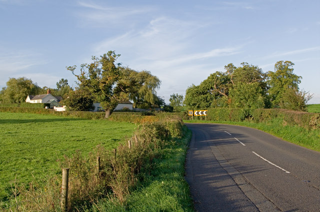
Image: © Ian Capper Taken: 5 Oct 2010
B5358 Bonis Hall Lane, with Parkside Farm beyond the bend. Hardly a lane though - instead a busy route for traffic from Macclesfield towards Cheadle, with this photo being taken in one of the few gaps in the flow.
Images are licensed for reuse under creativecommons.org/licenses/by-sa/2.0
Image Location
Latitude
53.310233
Longitude
-2.15468