Chapel Cottage, Sandford
Introduction
The photograph on this page of Chapel Cottage, Sandford by Andrew Curtis as part of the Geograph project.
The Geograph project started in 2005 with the aim of publishing, organising and preserving representative images for every square kilometre of Great Britain, Ireland and the Isle of Man.

There are currently over 7.5m images from over 14,400 individuals and you can help contribute to the project by visiting https://www.geograph.org.uk
Chapel Cottage, Sandford
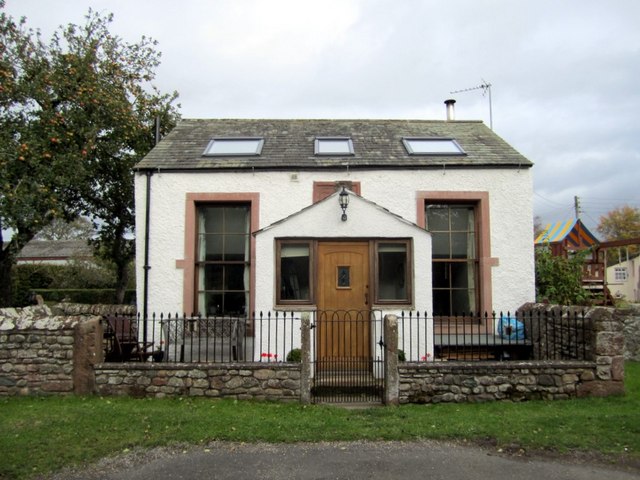
Image: © Andrew Curtis Taken: 22 Oct 2010
Former Wesleyan Association Chapel built in 1849. There is a photo from 2005, before conversion, here Image
Images are licensed for reuse under creativecommons.org/licenses/by-sa/2.0
Image Location
Latitude
54.540156
Longitude
-2.419443