Tower Bridge Road
Introduction
The photograph on this page of Tower Bridge Road by Martin Addison as part of the Geograph project.
The Geograph project started in 2005 with the aim of publishing, organising and preserving representative images for every square kilometre of Great Britain, Ireland and the Isle of Man.

There are currently over 7.5m images from over 14,400 individuals and you can help contribute to the project by visiting https://www.geograph.org.uk
Tower Bridge Road
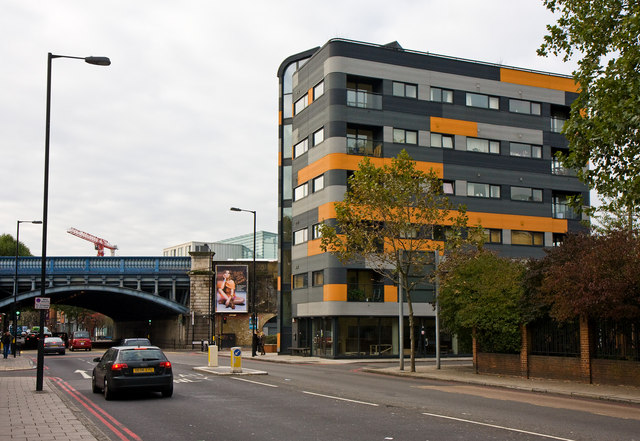
Image: © Martin Addison Taken: 22 Oct 2010
Looking towards the junction with Druid Street. The building on the right is Tower View and sits between Druid Street and St John's Churchyard. It was designed by Nigel Upchurch Associates. Planning permission was given in December 2003 and the design has caused some debate locally since.
Images are licensed for reuse under creativecommons.org/licenses/by-sa/2.0
Image Location
Latitude
51.501553
Longitude
-0.077736