Padbury: Farm track
Introduction
The photograph on this page of Padbury: Farm track by Nigel Cox as part of the Geograph project.
The Geograph project started in 2005 with the aim of publishing, organising and preserving representative images for every square kilometre of Great Britain, Ireland and the Isle of Man.

There are currently over 7.5m images from over 14,400 individuals and you can help contribute to the project by visiting https://www.geograph.org.uk
Padbury: Farm track
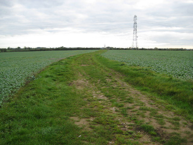
Image: © Nigel Cox Taken: 17 Oct 2010
This track is shown on the Ordnance Survey map of 1880, and seems to have existed only to afford access to the fields from Padbury village.
Images are licensed for reuse under creativecommons.org/licenses/by-sa/2.0
Image Location
Latitude
51.973217
Longitude
-0.947875