Portbury ditch sluice gate
Introduction
The photograph on this page of Portbury ditch sluice gate by Sharon Loxton as part of the Geograph project.
The Geograph project started in 2005 with the aim of publishing, organising and preserving representative images for every square kilometre of Great Britain, Ireland and the Isle of Man.

There are currently over 7.5m images from over 14,400 individuals and you can help contribute to the project by visiting https://www.geograph.org.uk
Portbury ditch sluice gate
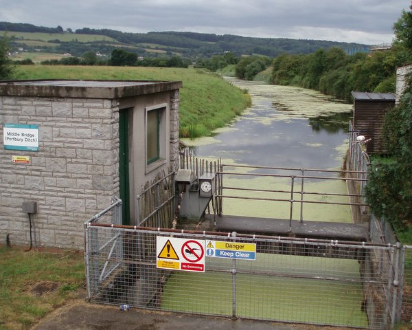
Image: © Sharon Loxton Taken: 31 Jul 2006
The sluice gate keeps the water level of Portbury ditch (to the south) artificially high. The ditch eventually flows into Portishead marina and the Severn estuary.
Images are licensed for reuse under creativecommons.org/licenses/by-sa/2.0
Image Location
Latitude
51.475993
Longitude
-2.760202