Down Hall Road
Introduction
The photograph on this page of Down Hall Road by terry joyce as part of the Geograph project.
The Geograph project started in 2005 with the aim of publishing, organising and preserving representative images for every square kilometre of Great Britain, Ireland and the Isle of Man.

There are currently over 7.5m images from over 14,400 individuals and you can help contribute to the project by visiting https://www.geograph.org.uk
Down Hall Road
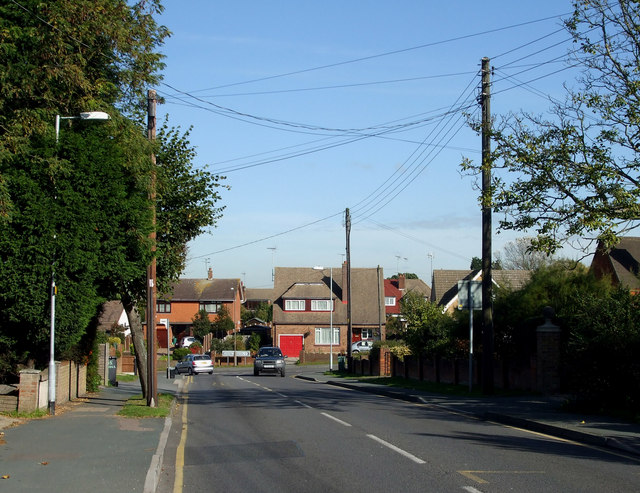
Image: © terry joyce Taken: 21 Oct 2010
This is the northerly end of Down Hall Road at the junction with Hambro Hill. It is a very busy road as people from Hullbridge and the north of Rayleigh use it to get into Rayleigh.
Images are licensed for reuse under creativecommons.org/licenses/by-sa/2.0
Image Location
Latitude
51.599042
Longitude
0.610837