Plate layer's hut beside dismantled railway trackbed
Introduction
The photograph on this page of Plate layer's hut beside dismantled railway trackbed by Evelyn Simak as part of the Geograph project.
The Geograph project started in 2005 with the aim of publishing, organising and preserving representative images for every square kilometre of Great Britain, Ireland and the Isle of Man.

There are currently over 7.5m images from over 14,400 individuals and you can help contribute to the project by visiting https://www.geograph.org.uk
Plate layer's hut beside dismantled railway trackbed
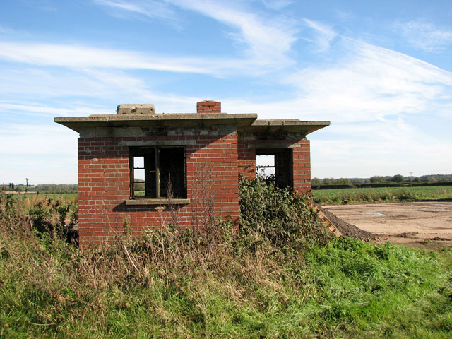
Image: © Evelyn Simak Taken: 21 Oct 2010
The hut is situated on the other side of Crossing Cottage > http://www.geograph.org.uk/photo/2122080 on Brake Lane, beside the dismantled trackbed of the Wells to Wymondham branch line.
Images are licensed for reuse under creativecommons.org/licenses/by-sa/2.0
Image Location
Latitude
52.850877
Longitude
0.84325