Access track to Steward Shield Meadow
Introduction
The photograph on this page of Access track to Steward Shield Meadow by Philip Barker as part of the Geograph project.
The Geograph project started in 2005 with the aim of publishing, organising and preserving representative images for every square kilometre of Great Britain, Ireland and the Isle of Man.

There are currently over 7.5m images from over 14,400 individuals and you can help contribute to the project by visiting https://www.geograph.org.uk
Access track to Steward Shield Meadow
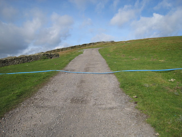
Image: © Philip Barker Taken: 17 Oct 2010
This photograph shows a view of the access track to the farm at Steward Shield Meadow (just behind the photographer). The track climbs steeply up to meet the minor road at Meadows Edge (ahead). The picture was taken looking in a north-westerly direction towards Dead Friar's Stone.
Images are licensed for reuse under creativecommons.org/licenses/by-sa/2.0
Image Location
Latitude
54.79026
Longitude
-2.028427