Charles House demolition from Warwick Road W14
Introduction
The photograph on this page of Charles House demolition from Warwick Road W14 by Robin Sones as part of the Geograph project.
The Geograph project started in 2005 with the aim of publishing, organising and preserving representative images for every square kilometre of Great Britain, Ireland and the Isle of Man.

There are currently over 7.5m images from over 14,400 individuals and you can help contribute to the project by visiting https://www.geograph.org.uk
Charles House demolition from Warwick Road W14
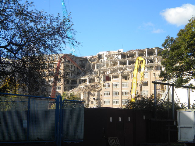
Image: © Robin Sones Taken: 20 Oct 2010
This former Social Security office frontage is in Kensington High Street - the building in its former guise can be seen on a previous picture http://www.geograph.org.uk/photo/624127
Images are licensed for reuse under creativecommons.org/licenses/by-sa/2.0
Image Location
Latitude
51.496302
Longitude
-0.206033