Cannon Place
Introduction
The photograph on this page of Cannon Place by Simon Carey as part of the Geograph project.
The Geograph project started in 2005 with the aim of publishing, organising and preserving representative images for every square kilometre of Great Britain, Ireland and the Isle of Man.

There are currently over 7.5m images from over 14,400 individuals and you can help contribute to the project by visiting https://www.geograph.org.uk
Cannon Place
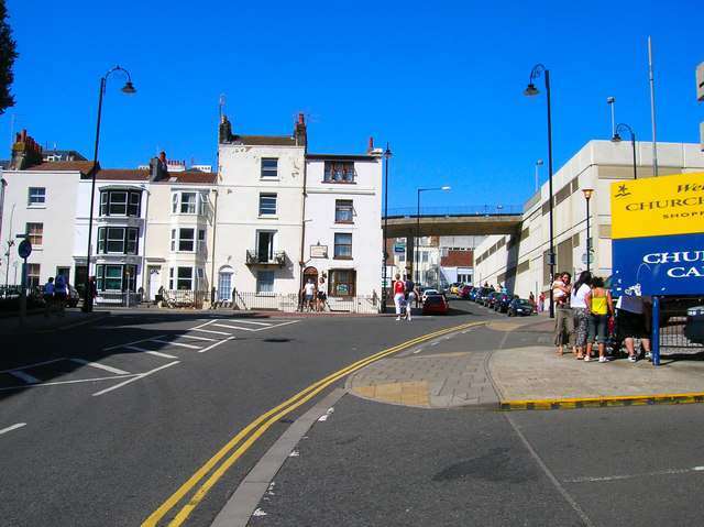
Image: © Simon Carey Taken: 30 Jul 2006
Heading north from the junction with Russell Road and this picture finely juxtaposes the old and new. To the left is the entrance to Russell Square to the right more multi storey car parks that serve Churchill Square. Click on the link to take you to the next picture. http://www.geograph.org.uk/photo/211993
Images are licensed for reuse under creativecommons.org/licenses/by-sa/2.0
Image Location
Latitude
50.822622
Longitude
-0.147213