Blacon Greenway - towards Chester
Introduction
The photograph on this page of Blacon Greenway - towards Chester by John S Turner as part of the Geograph project.
The Geograph project started in 2005 with the aim of publishing, organising and preserving representative images for every square kilometre of Great Britain, Ireland and the Isle of Man.

There are currently over 7.5m images from over 14,400 individuals and you can help contribute to the project by visiting https://www.geograph.org.uk
Blacon Greenway - towards Chester
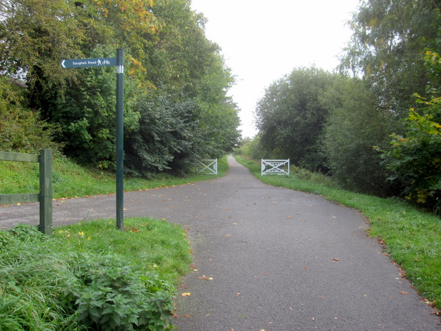
Image: © John S Turner Taken: 16 Oct 2010
Looking along the Blacon Greenway, which was once the trackbed for the Chester and Connah's Quay Railway. http://en.wikipedia.org/wiki/Chester_and_Connah's_Quay_Railway This is part of Route 5 of the National Cycle Network with an access point to Saughall Road on the left.
Images are licensed for reuse under creativecommons.org/licenses/by-sa/2.0
Image Location
Latitude
53.206108
Longitude
-2.924329