Link road from A4051 to A4042
Introduction
The photograph on this page of Link road from A4051 to A4042 by Jaggery as part of the Geograph project.
The Geograph project started in 2005 with the aim of publishing, organising and preserving representative images for every square kilometre of Great Britain, Ireland and the Isle of Man.

There are currently over 7.5m images from over 14,400 individuals and you can help contribute to the project by visiting https://www.geograph.org.uk
Link road from A4051 to A4042
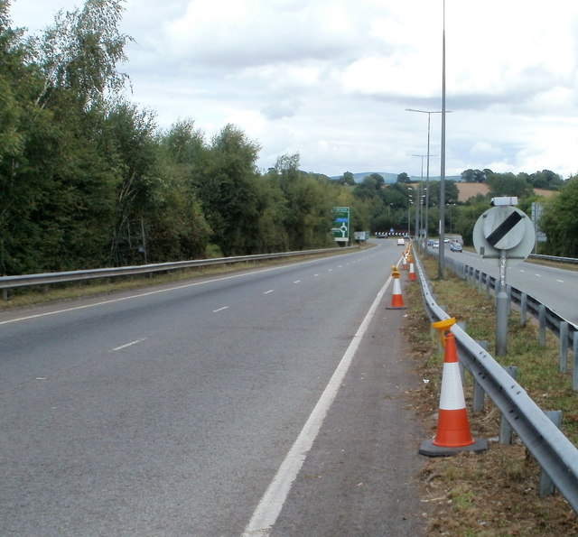
Image: © Jaggery Taken: 7 Aug 2010
The view from the edge of Woodlands Roundabout and the A4051 (Malpas Road and Cwmbran Drive) along one carriageway of the 400 metre long connecting road to Croes-y-Mwyalch Roundabout and the A4042 (Llantarnam bypass to the north and Malpas bypass to the south).
Images are licensed for reuse under creativecommons.org/licenses/by-sa/2.0
Image Location
Latitude
51.621599
Longitude
-3.006754