Tarka Trail
Introduction
The photograph on this page of Tarka Trail by Derek Harper as part of the Geograph project.
The Geograph project started in 2005 with the aim of publishing, organising and preserving representative images for every square kilometre of Great Britain, Ireland and the Isle of Man.

There are currently over 7.5m images from over 14,400 individuals and you can help contribute to the project by visiting https://www.geograph.org.uk
Tarka Trail
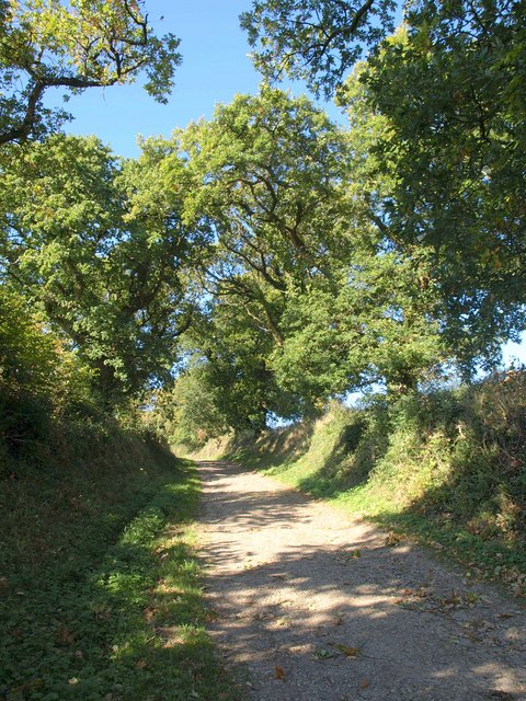
Image: © Derek Harper Taken: 12 Oct 2010
The trail follows Okehampton Hamlets Footpath 19 up the oak-lined Beare Bridge Road.
Images are licensed for reuse under creativecommons.org/licenses/by-sa/2.0
Image Location
Latitude
50.747761
Longitude
-4.001264