Mill Road, Okehampton
Introduction
The photograph on this page of Mill Road, Okehampton by Derek Harper as part of the Geograph project.
The Geograph project started in 2005 with the aim of publishing, organising and preserving representative images for every square kilometre of Great Britain, Ireland and the Isle of Man.

There are currently over 7.5m images from over 14,400 individuals and you can help contribute to the project by visiting https://www.geograph.org.uk
Mill Road, Okehampton
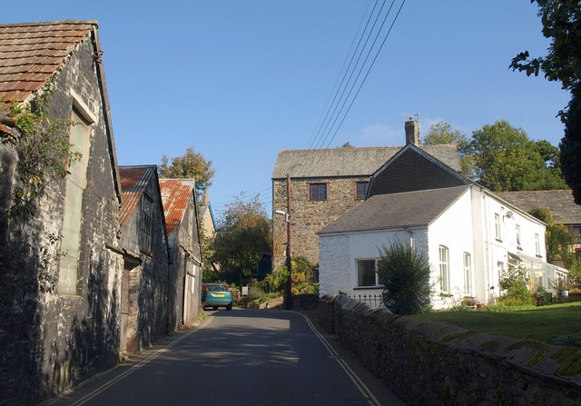
Image: © Derek Harper Taken: 12 Oct 2010
A rather busy road with no pavement along this stretch past the Town Mill. The mill building at the centre is an early C19 water mill presrving its overshot iron water-wheel at the left side http://www.britishlistedbuildings.co.uk/en-93370-town-mill-okehampton . The buildings on the left were a manure and vitriol works, closed after "the pipe broke and caused smells in the town" http://www.britishlistedbuildings.co.uk/en-93384-chimney-about-50-metres-west-north-west-o .
Images are licensed for reuse under creativecommons.org/licenses/by-sa/2.0
Image Location
Latitude
50.737273
Longitude
-3.999258