Saxon Shore Way heads to Upchurch
Introduction
The photograph on this page of Saxon Shore Way heads to Upchurch by N Chadwick as part of the Geograph project.
The Geograph project started in 2005 with the aim of publishing, organising and preserving representative images for every square kilometre of Great Britain, Ireland and the Isle of Man.

There are currently over 7.5m images from over 14,400 individuals and you can help contribute to the project by visiting https://www.geograph.org.uk
Saxon Shore Way heads to Upchurch
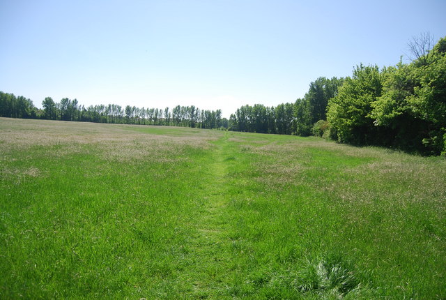
Image: © N Chadwick Taken: 23 May 2010
The OS map shows this area as orchards, sadly like so many they have been grubbed up.
Images are licensed for reuse under creativecommons.org/licenses/by-sa/2.0
Image Location
Latitude
51.381437
Longitude
0.649164