Ambresbury Banks
Introduction
The photograph on this page of Ambresbury Banks by Stephen McKay as part of the Geograph project.
The Geograph project started in 2005 with the aim of publishing, organising and preserving representative images for every square kilometre of Great Britain, Ireland and the Isle of Man.

There are currently over 7.5m images from over 14,400 individuals and you can help contribute to the project by visiting https://www.geograph.org.uk
Ambresbury Banks
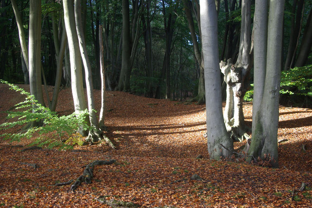
Image: © Stephen McKay Taken: 16 Oct 2010
Hidden among the beech trees at the northern end of Epping Forest, are earthworks believed to date from around 500BC. They may have been built as animal folds or possibly as a lookout or boundary marker between the territories of rival tribes. What is known for certain is that , despite local legend, this is not where Queen Boudicca was defeated and killed.
Images are licensed for reuse under creativecommons.org/licenses/by-sa/2.0
Image Location
Latitude
51.68315
Longitude
0.078369