Cut Lane approaching Cut Farm
Introduction
The photograph on this page of Cut Lane approaching Cut Farm by Bill Boaden as part of the Geograph project.
The Geograph project started in 2005 with the aim of publishing, organising and preserving representative images for every square kilometre of Great Britain, Ireland and the Isle of Man.

There are currently over 7.5m images from over 14,400 individuals and you can help contribute to the project by visiting https://www.geograph.org.uk
Cut Lane approaching Cut Farm
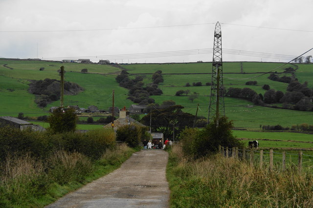
Image: © Bill Boaden Taken: 17 Oct 2010
The Leeds and Liverpool Canal runs in the dip ahead, but there is no river as might be expected.
Images are licensed for reuse under creativecommons.org/licenses/by-sa/2.0
Image Location
Latitude
53.767012
Longitude
-2.430506