St. Laurence, Upton
Introduction
The photograph on this page of St. Laurence, Upton by Jonathan Thacker as part of the Geograph project.
The Geograph project started in 2005 with the aim of publishing, organising and preserving representative images for every square kilometre of Great Britain, Ireland and the Isle of Man.

There are currently over 7.5m images from over 14,400 individuals and you can help contribute to the project by visiting https://www.geograph.org.uk
St. Laurence, Upton
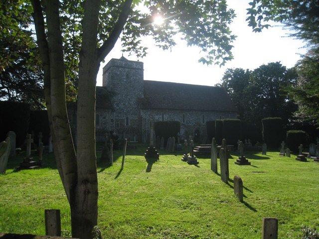
Image: © Jonathan Thacker Taken: 11 Oct 2010
From this side St.Laurence's appears to be the quintessential Norman parish church.
Images are licensed for reuse under creativecommons.org/licenses/by-sa/2.0
Image Location
Latitude
51.501978
Longitude
-0.588487