Ford near Writtle
Introduction
The photograph on this page of Ford near Writtle by terry joyce as part of the Geograph project.
The Geograph project started in 2005 with the aim of publishing, organising and preserving representative images for every square kilometre of Great Britain, Ireland and the Isle of Man.

There are currently over 7.5m images from over 14,400 individuals and you can help contribute to the project by visiting https://www.geograph.org.uk
Ford near Writtle
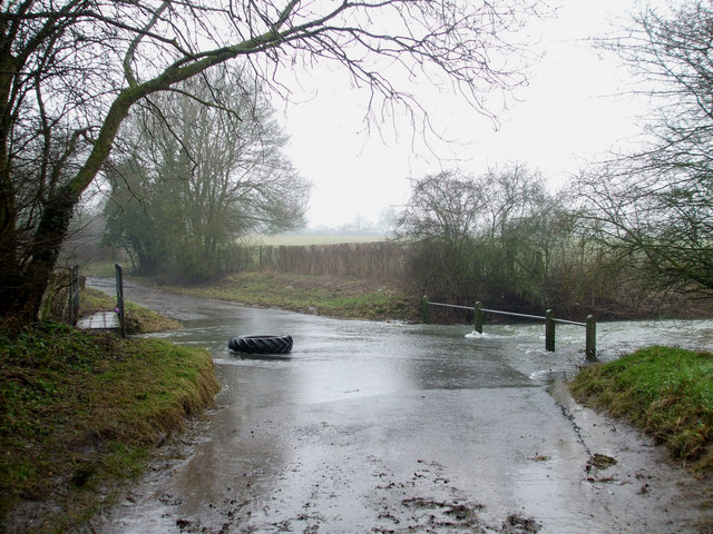
Image: © terry joyce Taken: 18 Feb 2010
This Ford is on the Old Roxwell Road between Cow Watering Lane and the Roxwell Road A1060. It is Roxwell Brook which flows into the River Can.
Images are licensed for reuse under creativecommons.org/licenses/by-sa/2.0
Image Location
Latitude
51.740428
Longitude
0.421397