Pillbox above the escarpment at Cheriton
Introduction
The photograph on this page of Pillbox above the escarpment at Cheriton by Marathon as part of the Geograph project.
The Geograph project started in 2005 with the aim of publishing, organising and preserving representative images for every square kilometre of Great Britain, Ireland and the Isle of Man.

There are currently over 7.5m images from over 14,400 individuals and you can help contribute to the project by visiting https://www.geograph.org.uk
Pillbox above the escarpment at Cheriton
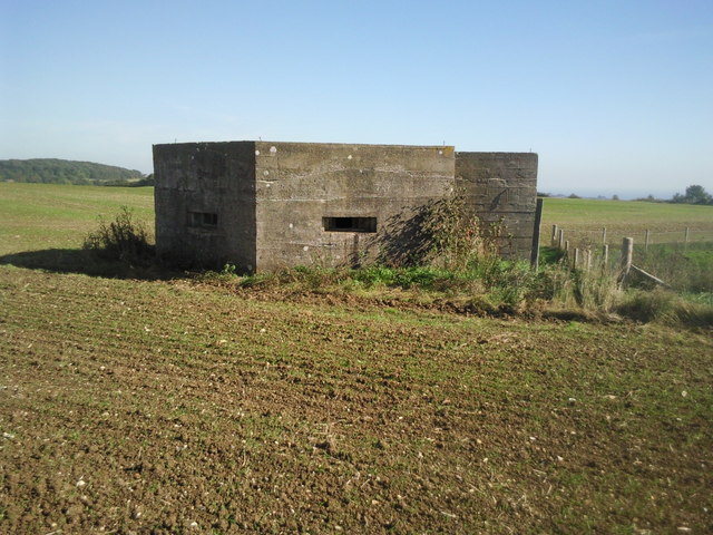
Image: © Marathon Taken: 11 Oct 2010
The North Downs Way passes round the edge of this field above the escarpment of Cheriton Hill where this pillbox surveys the Channel below.
Images are licensed for reuse under creativecommons.org/licenses/by-sa/2.0
Image Location
Latitude
51.100946
Longitude
1.131517