Waldegrave Road, SE19
Introduction
The photograph on this page of Waldegrave Road, SE19 by Christopher Hilton as part of the Geograph project.
The Geograph project started in 2005 with the aim of publishing, organising and preserving representative images for every square kilometre of Great Britain, Ireland and the Isle of Man.

There are currently over 7.5m images from over 14,400 individuals and you can help contribute to the project by visiting https://www.geograph.org.uk
Waldegrave Road, SE19
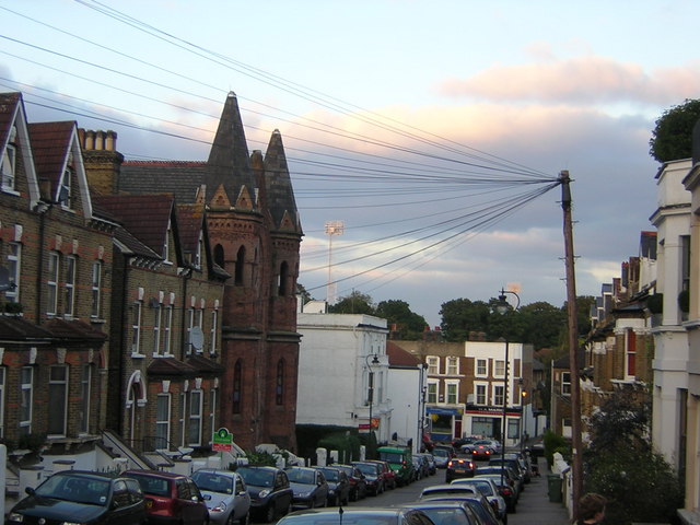
Image: © Christopher Hilton Taken: 12 Oct 2010
In the middle distance on the left is the former Swedenborgian Church, now converted to flats. Note the old-fashioned telegraph pole radiating wires.
Images are licensed for reuse under creativecommons.org/licenses/by-sa/2.0
Image Location
Latitude
51.416859
Longitude
-0.073238