Upper Pont-tafarh
Introduction
The photograph on this page of Upper Pont-tafarh by Trevor Rickard as part of the Geograph project.
The Geograph project started in 2005 with the aim of publishing, organising and preserving representative images for every square kilometre of Great Britain, Ireland and the Isle of Man.

There are currently over 7.5m images from over 14,400 individuals and you can help contribute to the project by visiting https://www.geograph.org.uk
Upper Pont-tafarh
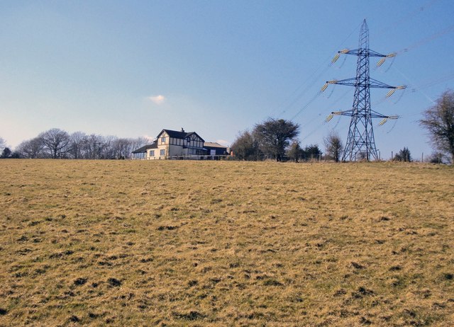
Image: © Trevor Rickard Taken: 5 Mar 2010
Large isolated house in close proximity to high voltage lines.
Images are licensed for reuse under creativecommons.org/licenses/by-sa/2.0
Image Location
Latitude
51.849009
Longitude
-2.857062