Chudleigh Rd
Introduction
The photograph on this page of Chudleigh Rd by Nigel Mykura as part of the Geograph project.
The Geograph project started in 2005 with the aim of publishing, organising and preserving representative images for every square kilometre of Great Britain, Ireland and the Isle of Man.

There are currently over 7.5m images from over 14,400 individuals and you can help contribute to the project by visiting https://www.geograph.org.uk
Chudleigh Rd
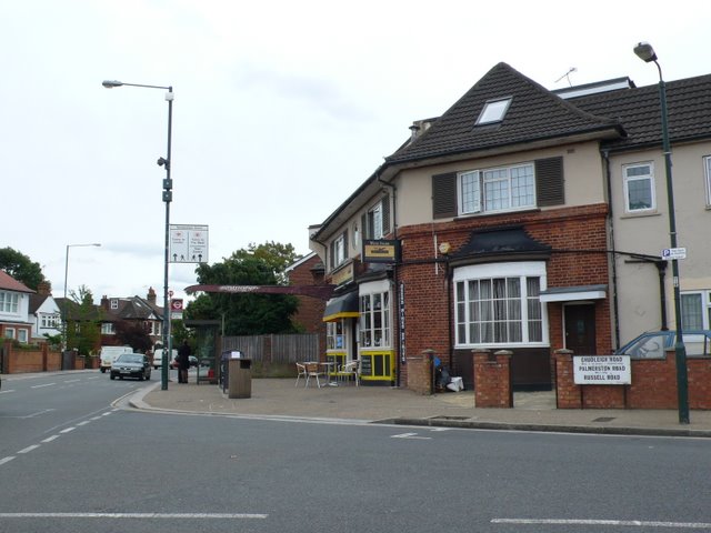
Image: © Nigel Mykura Taken: 19 Sep 2010
The street name sign has three streets on it as there are some short cul de sacs Such as Palmerston Rd, just off Chudleigh Rd on the south side of the Chertsey Rd, the A316. The short roads were originally longer but were cut in half by the construction of the A316 and their other halves, including half of Chudleigh Rd, are on the northern side of the A316. The road on the left is Whitton Rd. This is right on the southern edge of the grid square and the grid line runs along the line of the wall where the street sign is to the street lamp on the left so that the car is just out of square.
Images are licensed for reuse under creativecommons.org/licenses/by-sa/2.0
Image Location
Latitude
51.453156
Longitude
-0.335245