Chalk downland above Postling
Introduction
The photograph on this page of Chalk downland above Postling by Marathon as part of the Geograph project.
The Geograph project started in 2005 with the aim of publishing, organising and preserving representative images for every square kilometre of Great Britain, Ireland and the Isle of Man.

There are currently over 7.5m images from over 14,400 individuals and you can help contribute to the project by visiting https://www.geograph.org.uk
Chalk downland above Postling
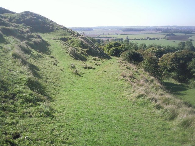
Image: © Marathon Taken: 11 Oct 2010
The path straight ahead descends to Postling, whilst the North Downs Way continues up the slope on the left.
Images are licensed for reuse under creativecommons.org/licenses/by-sa/2.0
Image Location
Latitude
51.113162
Longitude
1.064323