Burley Hill, New Forest
Introduction
The photograph on this page of Burley Hill, New Forest by Jim Champion as part of the Geograph project.
The Geograph project started in 2005 with the aim of publishing, organising and preserving representative images for every square kilometre of Great Britain, Ireland and the Isle of Man.

There are currently over 7.5m images from over 14,400 individuals and you can help contribute to the project by visiting https://www.geograph.org.uk
Burley Hill, New Forest
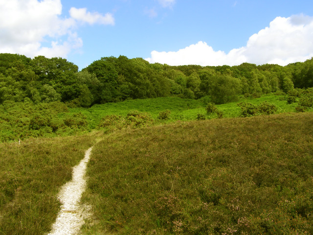
Image: © Jim Champion Taken: 30 Jul 2006
The worn path leads up from Church Moor to Castle Hill Lane north of Coffins Holms (the wooded area on top of the hill). There is an interesting series of transitions with increasing altitude - from heather, to gorse and bracken, to coniferous woodland - presumably something to do with changes in the underlying soils.
Images are licensed for reuse under creativecommons.org/licenses/by-sa/2.0
Image Location


Leaflet Map data © OpenStreetMap
Latitude
50.828901
Longitude
-1.720235