Lake Copse
Introduction
The photograph on this page of Lake Copse by Simon Carey as part of the Geograph project.
The Geograph project started in 2005 with the aim of publishing, organising and preserving representative images for every square kilometre of Great Britain, Ireland and the Isle of Man.

There are currently over 7.5m images from over 14,400 individuals and you can help contribute to the project by visiting https://www.geograph.org.uk
Lake Copse
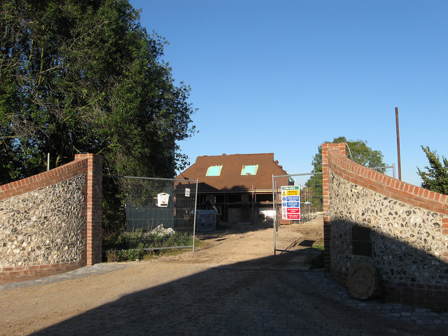
Image: © Simon Carey Taken: 10 Oct 2010
The name of the building which is being erected beyond the gates. According to the 1838 tithe map this was Lake Copse Field, with the wood called Lake Copse found on the eastern border of it.
Images are licensed for reuse under creativecommons.org/licenses/by-sa/2.0
Image Location
Latitude
50.840879
Longitude
-0.598727