Masonic hall, Comber (1)
Introduction
The photograph on this page of Masonic hall, Comber (1) by Albert Bridge as part of the Geograph project.
The Geograph project started in 2005 with the aim of publishing, organising and preserving representative images for every square kilometre of Great Britain, Ireland and the Isle of Man.

There are currently over 7.5m images from over 14,400 individuals and you can help contribute to the project by visiting https://www.geograph.org.uk
Masonic hall, Comber (1)
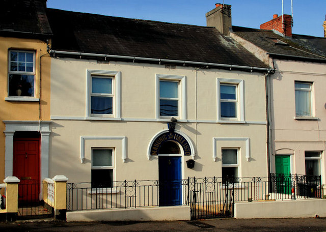
Image: © Albert Bridge Taken: 16 Oct 2010
The present hall, in Railway Street (Mill Street on the Google map) carries the date of 1870 although there has been a lodge in existence since 1810. Image (August 2013) shows a similar view but taken from an elevated position of the bypass flyover Image Continue to Image
Images are licensed for reuse under creativecommons.org/licenses/by-sa/2.0
Image Location
Latitude
54.551422
Longitude
-5.754637