Birmingham Main Line Canal near Priestfield, Wolverhampton
Introduction
The photograph on this page of Birmingham Main Line Canal near Priestfield, Wolverhampton by Roger D Kidd as part of the Geograph project.
The Geograph project started in 2005 with the aim of publishing, organising and preserving representative images for every square kilometre of Great Britain, Ireland and the Isle of Man.

There are currently over 7.5m images from over 14,400 individuals and you can help contribute to the project by visiting https://www.geograph.org.uk
Birmingham Main Line Canal near Priestfield, Wolverhampton
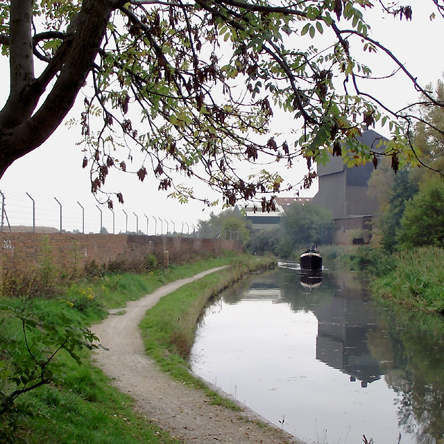
Image: © Roger D Kidd Taken: 15 Oct 2010
This is north-west of Catchems Corner Bridge on the Wolverhampton Level of the Birmingham Main Line Canal, which was fully opened in 1772. James Brindley was the engineer. Thomas Telford upgraded the route some sixty years later. A working boat is approaching.
Images are licensed for reuse under creativecommons.org/licenses/by-sa/2.0
Image Location
Latitude
52.568872
Longitude
-2.102865