Derelict Oerfa near Nant Y Rhiw
Introduction
The photograph on this page of Derelict Oerfa near Nant Y Rhiw by Terry Hughes as part of the Geograph project.
The Geograph project started in 2005 with the aim of publishing, organising and preserving representative images for every square kilometre of Great Britain, Ireland and the Isle of Man.

There are currently over 7.5m images from over 14,400 individuals and you can help contribute to the project by visiting https://www.geograph.org.uk
Derelict Oerfa near Nant Y Rhiw
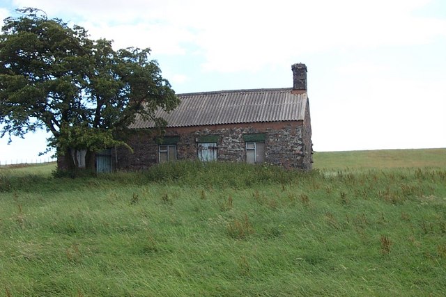
Image: © Terry Hughes Taken: 30 Jul 2006
Oerfa is a derelict house near Nant y Rhiw high above Llanrwst at grid reference SH 83670 59397.
Images are licensed for reuse under creativecommons.org/licenses/by-sa/2.0
Image Location
Latitude
53.11902
Longitude
-3.739674