Road Junction at Stickleholme
Introduction
The photograph on this page of Road Junction at Stickleholme by Philip Barker as part of the Geograph project.
The Geograph project started in 2005 with the aim of publishing, organising and preserving representative images for every square kilometre of Great Britain, Ireland and the Isle of Man.

There are currently over 7.5m images from over 14,400 individuals and you can help contribute to the project by visiting https://www.geograph.org.uk
Road Junction at Stickleholme
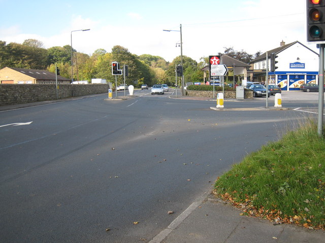
Image: © Philip Barker Taken: 11 Oct 2010
This photograph shows a view of the road junction formed by the intersection of the A6187 road (on the left) and the A6013 road (on the right). Stickleholm service station can be seen in the right-hand side of the image. The picture was taken looking in a west-north-westerly direction towards Shatton.
Images are licensed for reuse under creativecommons.org/licenses/by-sa/2.0
Image Location
Latitude
53.337564
Longitude
-1.690594