A full larder at Hargate Hill Farm
Introduction
The photograph on this page of A full larder at Hargate Hill Farm by Bill Boaden as part of the Geograph project.
The Geograph project started in 2005 with the aim of publishing, organising and preserving representative images for every square kilometre of Great Britain, Ireland and the Isle of Man.

There are currently over 7.5m images from over 14,400 individuals and you can help contribute to the project by visiting https://www.geograph.org.uk
A full larder at Hargate Hill Farm
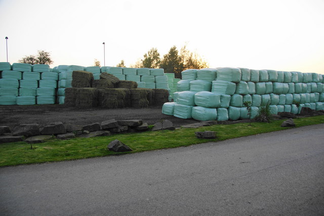
Image: © Bill Boaden Taken: 13 Oct 2010
Being a large equestrian centre, there is plenty of demand for food for the horses.
Images are licensed for reuse under creativecommons.org/licenses/by-sa/2.0
Image Location
Latitude
53.438905
Longitude
-1.983553