Vale House, Galmpton
Introduction
The photograph on this page of Vale House, Galmpton by Derek Harper as part of the Geograph project.
The Geograph project started in 2005 with the aim of publishing, organising and preserving representative images for every square kilometre of Great Britain, Ireland and the Isle of Man.

There are currently over 7.5m images from over 14,400 individuals and you can help contribute to the project by visiting https://www.geograph.org.uk
Vale House, Galmpton
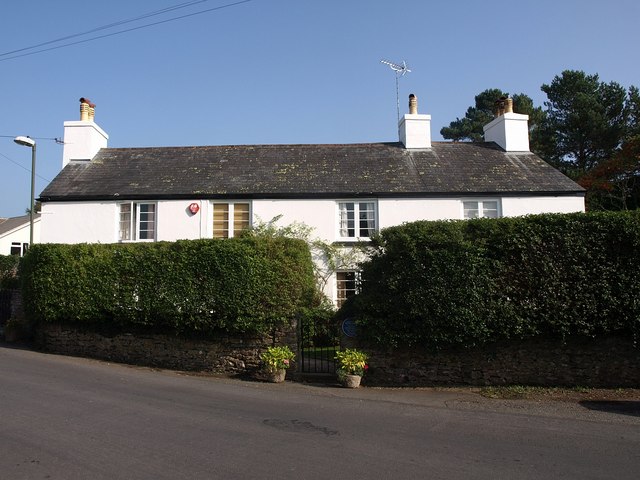
Image: © Derek Harper Taken: 10 Oct 2010
Image has been repainted white. It's described at http://www.britishlistedbuildings.co.uk/en-383619-vale-house-23-brixham as "probably former farmhouse. C17 or earlier".
Images are licensed for reuse under creativecommons.org/licenses/by-sa/2.0
Image Location
Latitude
50.395149
Longitude
-3.564557