View of the route of the Elham Valley Railway
Introduction
The photograph on this page of View of the route of the Elham Valley Railway by David Anstiss as part of the Geograph project.
The Geograph project started in 2005 with the aim of publishing, organising and preserving representative images for every square kilometre of Great Britain, Ireland and the Isle of Man.

There are currently over 7.5m images from over 14,400 individuals and you can help contribute to the project by visiting https://www.geograph.org.uk
View of the route of the Elham Valley Railway
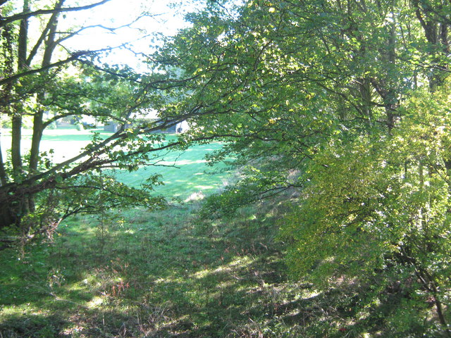
Image: © David Anstiss Taken: 10 Oct 2010
As seen from Image This shows the route of the disused and dismantled railway that once led towards Etchinghill. Now just part of Bridge Farm.
Images are licensed for reuse under creativecommons.org/licenses/by-sa/2.0
Image Location
Latitude
51.124031
Longitude
1.0922