Lister Way, East Allington
Introduction
The photograph on this page of Lister Way, East Allington by Derek Harper as part of the Geograph project.
The Geograph project started in 2005 with the aim of publishing, organising and preserving representative images for every square kilometre of Great Britain, Ireland and the Isle of Man.

There are currently over 7.5m images from over 14,400 individuals and you can help contribute to the project by visiting https://www.geograph.org.uk
Lister Way, East Allington
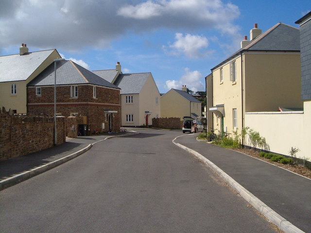
Image: © Derek Harper Taken: 28 Jul 2006
This new greenfield development on the edge of the village offers 38 flats and houses for rent and shared ownership to people with significant local connections http://www2.powerlounge.co.uk/EditSite/Customers/694/nz-docs/Briefing%20sheet-East%20Allington-SHDC%20approved.pdf .
Images are licensed for reuse under creativecommons.org/licenses/by-sa/2.0
Image Location
Latitude
50.324382
Longitude
-3.72857