View of Creteway Downs
Introduction
The photograph on this page of View of Creteway Downs by David Anstiss as part of the Geograph project.
The Geograph project started in 2005 with the aim of publishing, organising and preserving representative images for every square kilometre of Great Britain, Ireland and the Isle of Man.

There are currently over 7.5m images from over 14,400 individuals and you can help contribute to the project by visiting https://www.geograph.org.uk
View of Creteway Downs
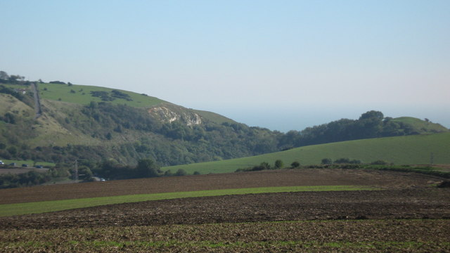
Image: © David Anstiss Taken: 10 Oct 2010
As seen from Terlingham Manor access road. This looks at the Downs beside Palmer's Hill. Crete Road West is in the foreground, and Crete Road East is in the background on the left. Round Hill is on the right.
Images are licensed for reuse under creativecommons.org/licenses/by-sa/2.0
Image Location
Latitude
51.106154
Longitude
1.158587