New footpath into Hawkinge Housing Development
Introduction
The photograph on this page of New footpath into Hawkinge Housing Development by David Anstiss as part of the Geograph project.
The Geograph project started in 2005 with the aim of publishing, organising and preserving representative images for every square kilometre of Great Britain, Ireland and the Isle of Man.

There are currently over 7.5m images from over 14,400 individuals and you can help contribute to the project by visiting https://www.geograph.org.uk
New footpath into Hawkinge Housing Development
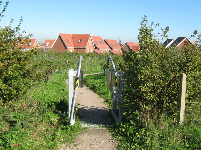
Image: © David Anstiss Taken: 10 Oct 2010
Leading from Gibraltar Lane is a footpath around a landscaped section around the large housing estate.
Images are licensed for reuse under creativecommons.org/licenses/by-sa/2.0
Image Location
Latitude
51.109016
Longitude
1.149209