Craik Forest and Borthwick Water near Craik
Introduction
The photograph on this page of Craik Forest and Borthwick Water near Craik by M J Richardson as part of the Geograph project.
The Geograph project started in 2005 with the aim of publishing, organising and preserving representative images for every square kilometre of Great Britain, Ireland and the Isle of Man.

There are currently over 7.5m images from over 14,400 individuals and you can help contribute to the project by visiting https://www.geograph.org.uk
Craik Forest and Borthwick Water near Craik
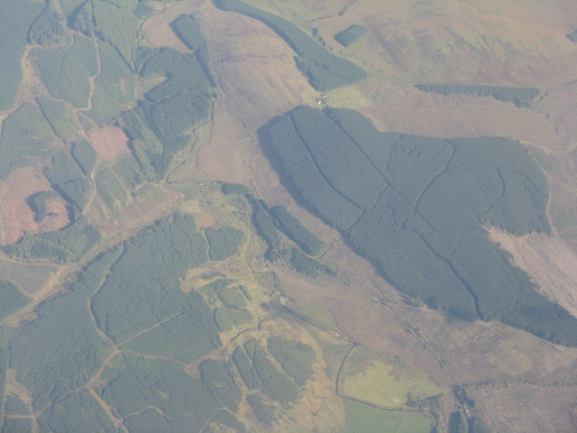
Image: © M J Richardson Taken: 7 Oct 2010
The water heads off east [to the top of the picture] to join the Teviot. Eilrig is the tiny farm at the left-hand edge of a solitary square field between two surviving sections of the forest. Much of the forest here has been harvested, as witnessed by the large expanses of cleared areas.
Images are licensed for reuse under creativecommons.org/licenses/by-sa/2.0
Image Location
Latitude
55.368234
Longitude
-2.995521