Thatched Barn of Boyke Manor
Introduction
The photograph on this page of Thatched Barn of Boyke Manor by David Anstiss as part of the Geograph project.
The Geograph project started in 2005 with the aim of publishing, organising and preserving representative images for every square kilometre of Great Britain, Ireland and the Isle of Man.

There are currently over 7.5m images from over 14,400 individuals and you can help contribute to the project by visiting https://www.geograph.org.uk
Thatched Barn of Boyke Manor
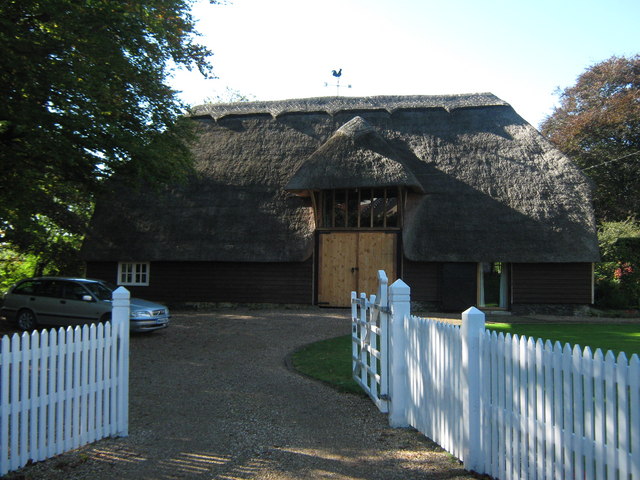
Image: © David Anstiss Taken: 10 Oct 2010
On Boyke Lane, the manor house is to the right of this barn. Barn is dated to 15th century.
Images are licensed for reuse under creativecommons.org/licenses/by-sa/2.0
Image Location
Latitude
51.139649
Longitude
1.096818