Surrey Canal Road
Introduction
The photograph on this page of Surrey Canal Road by Malc McDonald as part of the Geograph project.
The Geograph project started in 2005 with the aim of publishing, organising and preserving representative images for every square kilometre of Great Britain, Ireland and the Isle of Man.

There are currently over 7.5m images from over 14,400 individuals and you can help contribute to the project by visiting https://www.geograph.org.uk
Surrey Canal Road
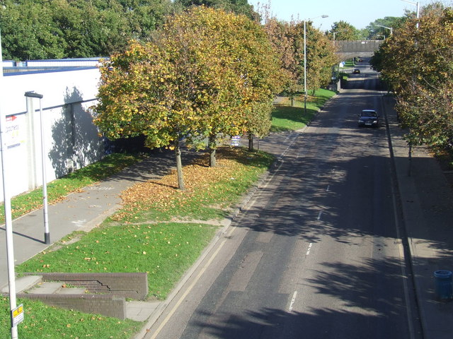
Image: © Malc McDonald Taken: 10 Oct 2010
Surrey Canal Road, looking east. The road occupies the route of the former Surrey Canal, hence it is at a lower level than the shared pedestrian/cycle path alongside. The view was taken from a footbridge that was demolished 7 months later (16 May 2011).
Images are licensed for reuse under creativecommons.org/licenses/by-sa/2.0
Image Location
Latitude
51.484434
Longitude
-0.048498